Time is Running Out
March 1, 2014 at 8:26 am 1 comment
Most of us think nothing of thirty days from now. But in a little more than that short period of time, National Oceanic and Atmospheric Administration (NOAA) will stop printing the giant paper nautical chart for good. For some mariners, this is a major change. 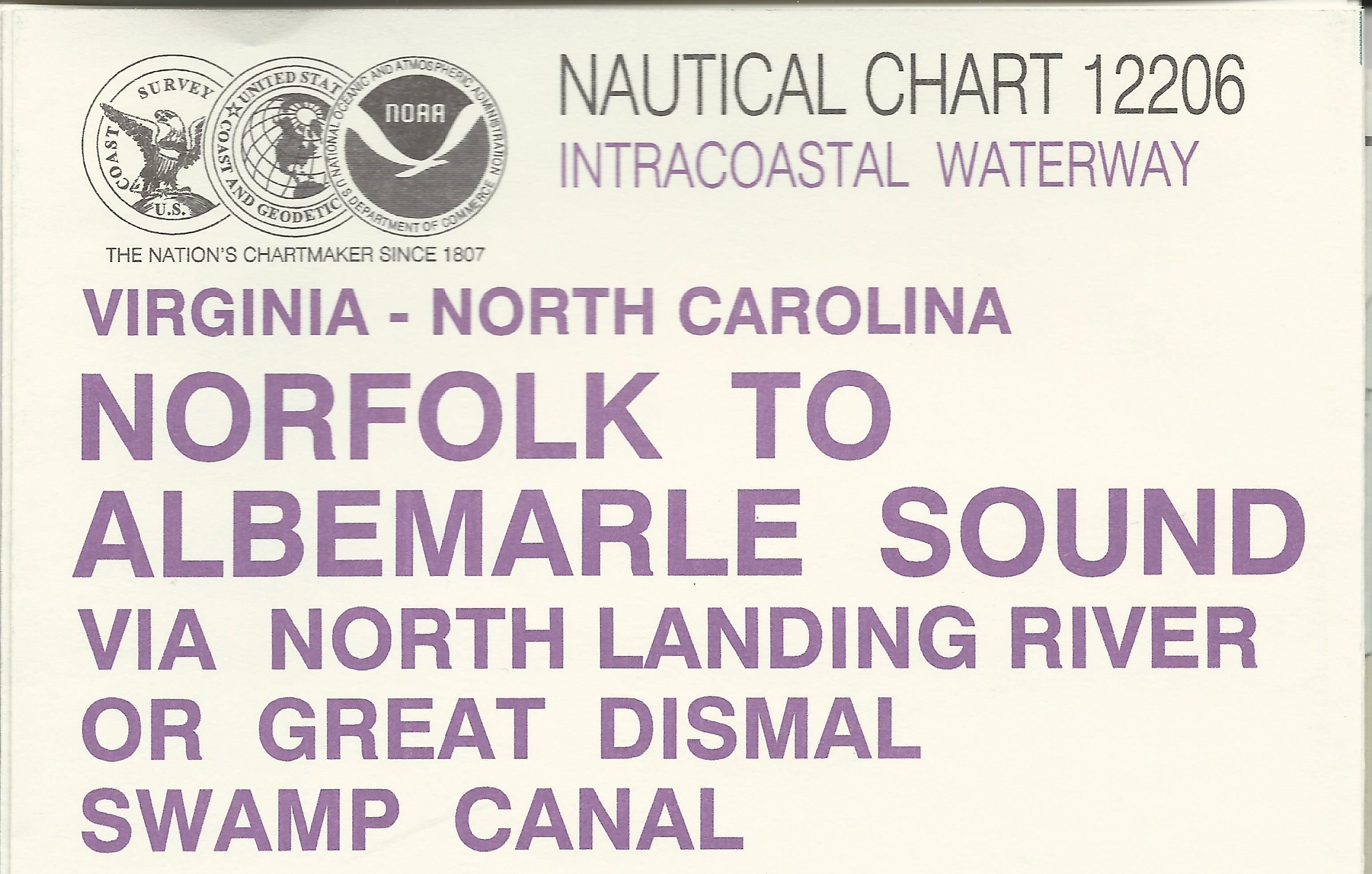
The idea of charting waters on the US coasts dates back to Thomas Jefferson when he asked the federal government to survey of the local waters for mercantile transportation. This charting process with the support of many shipping firms and the federal government then evolved into NOAA printing these heavy nautical guides in 1862.
I am sure it’s been a long time coming but I never thought it would happen in my lifetime.
Many of the current boating enthusiasts grew up with electronic maps and on-demand maps printed by private vendors. But old “salts” like me used these charts exclusively. And even though these modern charts contain the same if not more information, seasoned mariners will always fall back to the heavy paper maps.
I believe the biggest losers will be the agencies that provide U.S Coast Guard approved courses. Their compass and plotting course will undoubtedly be affected by this change.
When I took my Master’s USCG Captain’s license course, we exclusively used these heavy paper charts to plotting a course and map and compass basics. The exercises were extremely valuable to me and my current time on the water. Even today, when I plan a trip, I pull out these maps.
All is not lost though, NOAA will continue to chart for underwater depths, miscellaneous structures, topographical markings and other hazards to mariners. Gone will be the combined maps and charts.
But after mid-April, NOAA will discontinue the printing of these historical charts. Most will end up in frames hanging from dock master’s office walls.
So if you want to update your chart box with NOAA maps – better hurry up because the deadline is coming fast.
Until next time – Tightlines – Capt. Tony
Entry filed under: Home. Tags: boating, boating safety, cape hatteras, charlotte harbor, chesapeake bay, Kill Devil Hills, Kitty Hawk, nags head, salt water fishing.
1 Comment Add your own
Leave a reply to Quotes Cancel reply
Trackback this post | Subscribe to the comments via RSS Feed

1. Quotes | August 26, 2014 at 12:47 am
Hello i am kavin, its my first time to commenting anywhere, when i read this post i thought
i could also make comment due to this sensible piece of writing.